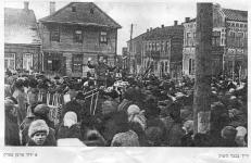
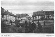
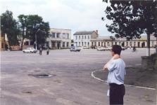
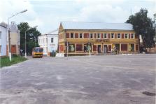
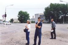
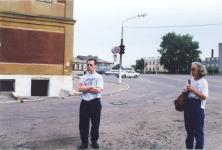
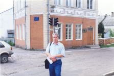
In this city square in the middle of the ghetto, the Jews were rounded up and led to their death on the eve of Rosh Hashana 1942.
The old map showed two markets. Since then, the two have been united to a single market. Low commercial buildings still surround the marketplace. Few shoppers visited the place and the parking lots were mostly empty. Probably, the commercial center moved someplace else.

|

| |

|

| |

|

|

|
Was the tall white house, standing South-East of the square, a synagogue? The map showed a couple more synagogues in that area. A local boy tried his English and said 'shop.'
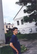
|
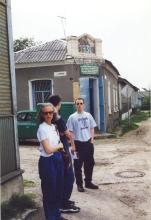
West of the square stands this house with a sign indicating it was built in 1930.
|
Reminder: Click on each picture to view the full-sized details.
Menu: Back to main page; South Entrance to Stolin; Rabbi's House; Brown-Brick Warehouse; White Synagogue; Streets of Stolin; Polesskaya-Sovetskaya Corner; Tarbut School and Orphanage; Street Fork; Old Jewish Cemetery; Bor -- Mass Grave.